
CIRIA Ref:
NERC Ref:
Start Date:
37
NE/N013050/1
01/01/2016
Case Study:
Call Year:
End Date:
Research Institution:
Loughborough University
Principle Investigator:
Dr Dapeng Yu
CO Investigator(s):
Robert Wilby
Industry Partners:
Atkins Global, Cabinet Office, Department for Communities and Local Government, Environment Agency, Leicester City Council, Leicester Resilience Forum, Met Office, Transport Scotland
Hazards
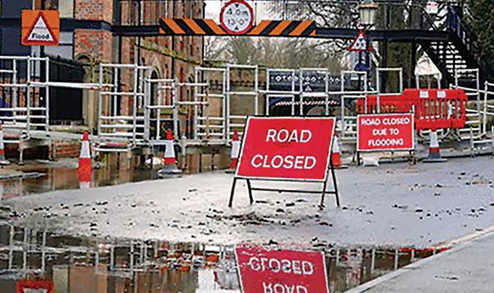
Inland flooding
The aim of this innovation project was to: 1) Identify, understand and quantify surface water flood risks to the infrastructure system pertinent to emergency response in real time in Leicester City; 2) Establish real time forecasting of surface water flooding for selected surface flooding hotspots identified by the emergency responders within Leicester City; 3) Pilot test real time surface water flood risk mapping within ResilienceDirect.
No additional information availible.
Copyright © 2018 Ciria.